Monday, August 6, 2007

Enchantments Trip - Backbone Ridge - 7/28/07

After way too much planning and logistics, Mel, Amy, Jason and myself finally made our trip to the Enchantments region of the Alpine Lakes Wilderness. We had reserved a three day permit to camp at Colchuck Lake, (right at the base of Dragontail Peak, second highest peak in the Stuart Range) and indeed our campsite was spectacular. Mel and Amy were planning on hiking over Aasgard Pass into the Enchantments basin, and Jason and I were planning on a little climbing. As the sun was setting we polished off dinner and Jason and I were scrambling to plan our route up the lower portion of Backbone Ridge, a classic granite arete on the north side of the mountain (Grade IV - 5.9 - 16 pitches).

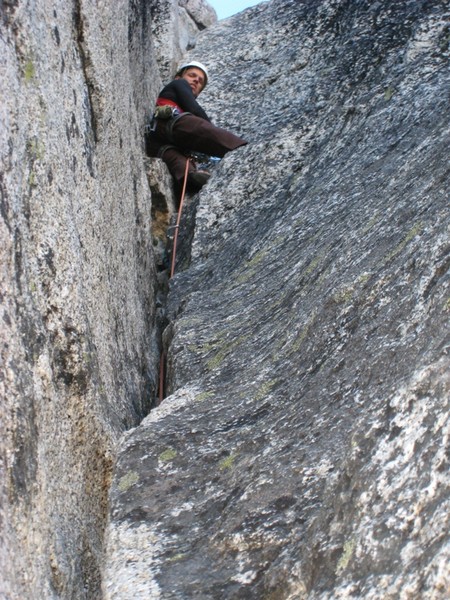
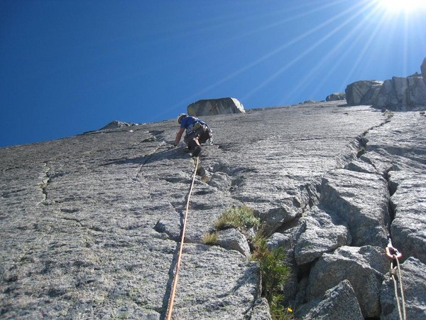
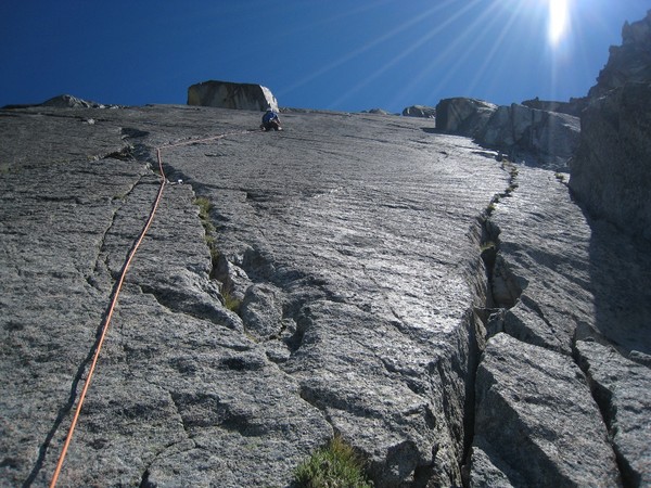
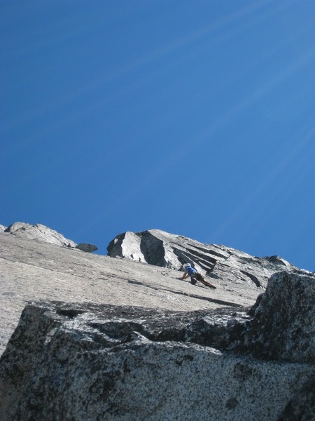
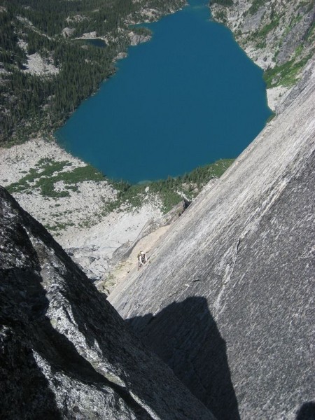
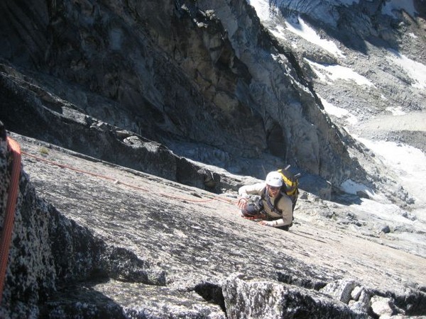
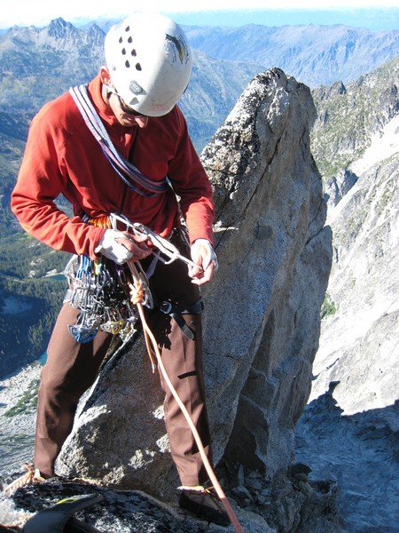
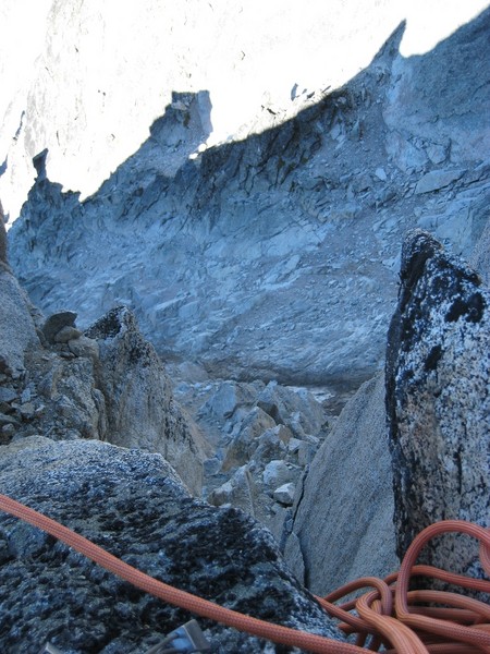
My alarm went off at 3:45, but I was already awake and nervious about the climb... This would be my first "alpine" 5.9 climb, and the prospect of climbing so many pitches of this grade at altitude with a backpack on was a little stressful to me. In the dark we started up the loose rock approach, and by first light we were changing out of our crampons and stepping onto the rock which marked the toe of rock buttress. About a half hour of scrambling led to the first real pitches of climbing, so we changed into our rock shoes and flaked the rope out. One 200 foot pitch led to the lower crux of the route, a 100 foot offwidth (wide) crack that tends to weed out the folks who aren't cut of for the rest of the route. Thankfully, we made it through this pitch without too much difficulty, but then immediately paid for our success by loosing track of where the proper route went. A short traversing rappel put us back in the correct crack system and we were again swapping more leads. A few more pitches led to easier ground, and we shortened the rope length and simulclimbed for another half hour or so. This simul-lead brought us to the base of the upper ridge and a feature called the fin, which is a polished granite slab laced with intersecting crack systems. Words fail to describe the quality and position of these pitches, but suffice it to say that it was the most spectacular alpine rock climbing I have ever done. Four pitches later we were straddling the knife edge crest with literally thousands of feet of exposure on either side. A dead end at this spot forced us to downclimb into the top of the triple couloirs route... This pitch punished us for the solid granite pitches we had enjoyed previously with rock so loose that 4 out of 5 handholds crumbled or pulled out. This pitch more resembled mining than climbing, and I'm still amazed that the whole mess hasn't managed to simply wash off the mountian yet. Just when I thought we were in real trouble, I spotted an exit gully that led back to the knife edge crest of the ridge and solid rock. From another ridge-crest-straddling belay I brought Jason up. His final lead brought us to easier rock and we scrambled to the summit. It was 5:45 and we had been climbing for about 12 hours. Here are the pics:

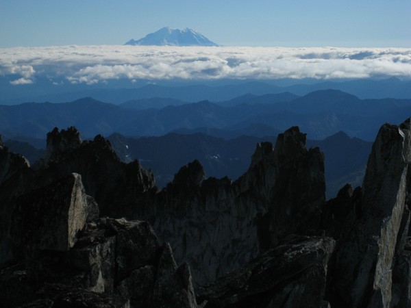
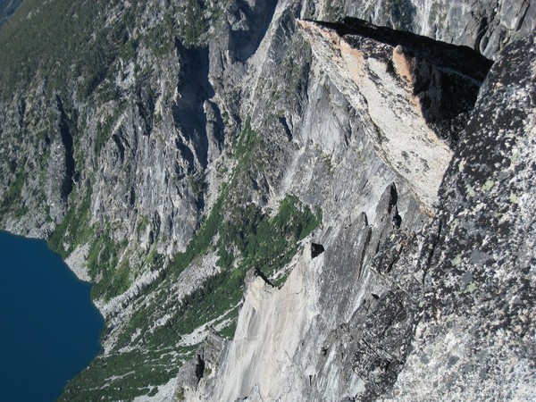

----------------------------------------------------------------------------------------------
So while Nate and Jason went off climbing, Amy and I hiked over Aasgard pass to explore the enchantments.

Colchuck lake with Aasgard Pass

We spent most of the day hiking through the upper enchantments while searching for the elusive mountain goat.


View of Leprechaun Lake in Lower Enchantments?


After a few hours of hiking and exploring all the lakes, we came across a few moutain goats. These were the first I've seen so I was pretty excited!!!


Prusik Peak. I've been pushing Nate to climb this with me, so hopefully we will be back this fall.
Looking down Aasgard Pass to Colchuck Lake.

Cave Rescue Training - 7/26/07

Had our cave rescue training the other day so I thought I would throw up a few pictures from that:


Sunday, July 8, 2007

Henline Creek - Upper Canyon Descent

Since Mel and I had such a great time in the Canyons of Utah, today we though we would see what the sport has to offer here in the Pacific Northwest! It's a little different for sure, and although the creek we choose was lacking the winding sandstone slots of Utah, it made up for it with old growth Douglas-fir and crystal clear water. With a canyon rating of 3C (meaning technical canyon with strong flowing current), I suspected that we would be in for an adventure, and I'm sure that Mel agrees that we got one. The canyon itself was probably only a couple of miles long, but it was somewhat committing once you were in it (not easy to get in or out, the only way down being the waterfalls). In total I think we rappelled 7 or 8 waterfalls, ranging from 30 or so feet to around 90 feet. The flow was perfect... Not so much that we were scared for our lives, but just enough so that you occasionally got pummeled when you were trying to descend the main channel. The last rappel was the longest, and unfortunately either the camera got wet or it ran out of batteries so I couldn't take any pictures. This one was the spiciest of them all... Literally the whole river pounding on your head as you rapped into this overhanging chimney for about 75 feet. After that was a nice pool to swim in and a short hike out. One of the best parts was that we probably passed 150 parked cars along the roadside on the way out, yet we hadn't seen or heard another soul all day. The pics (my camera is out of action from the hood trip so we only had mel's):

Mel getting absolutely pummeled on the first rappel!


Awww...


Mel again (I forget, but all the falls had names)


Another sweet little swimming pool...

My best Godzilla impression (cold water seeping into wetsuit slowly!)


Mel starting at the top of Jerry or Jimbo falls (or something like that)

Monday, July 2, 2007

Mt Hood - Northeast Side

Nate and I spent this past weekend at Mount Hood! We left the car at the Cloudcap Inn and hiked in on the Cooper Spur trail... The plan was to do some skiing on the northest side near the Elliot glacier. Since the weather was warm but cloudy we had a great hike in. The clouds cleared up so that when we got close to Hood and we had great views of the whole mountain. We found a sweet spot to set up camp in some rocks near the Elliot Glacier and had amazing views on all sides. Bella spent the next few hours staring at rocks patiently waiting for snaffles while Nate and I explored and played around on the boulders. After eating dinner we headed out for a hike south on the Timberline trail towards Timberline and Mt. Hood Meadows. We got back from our hike in time to watch the sun set and stayed up to watch the full moon rise. We woke up the next morning and skinned up to the flat part of the Elliot glacier. There was a lot less snow that Nate anticipated so there weren't many options for skiing good runs. We had a short ski back down and passed a waterfall in the glacier on the way. For my first backcountry ski trip it couldn't have been a better experience. We started our hike out late afternoon Sunday and made it back to the car in time to make it to Calamity Jane's for burgers on the way home.

First View!


View from the front yard...


Bella looking as cute as ever!


Okay, enough on the captions... The rest is self explanatory! :)